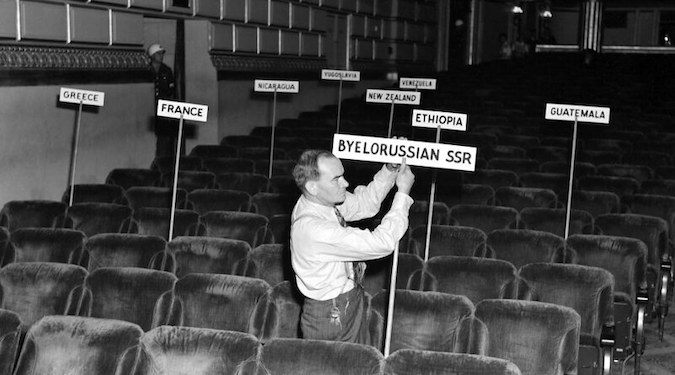
Robert A. James reviews the surprising history of the United Nations Security Council veto, the five permanent members solution, and the various alternatives proposed during the discussion. Although the current Security Council format appears historically inevitable, there is ample evidence of alternative formats suggested at the time of the construction of the United Nations. Beginning… Continue reading The San Francisco Conference and the Evitable UN Vetoes
Tag: United Nations
Rock or Island: It Was an UNCLOS Call

Geospatial Intelligence (GEOINT) provides legal value in presenting historical and existing facts to judicial bodies in their efforts to achieve the peaceful use of the seas, consistent with the United Nations Convention on the Law of the Sea (UNCLOS). The 2016 South China Sea Arbitration highlighted the value of GEOINT and demonstrates how GEOINT will… Continue reading Rock or Island: It Was an UNCLOS Call